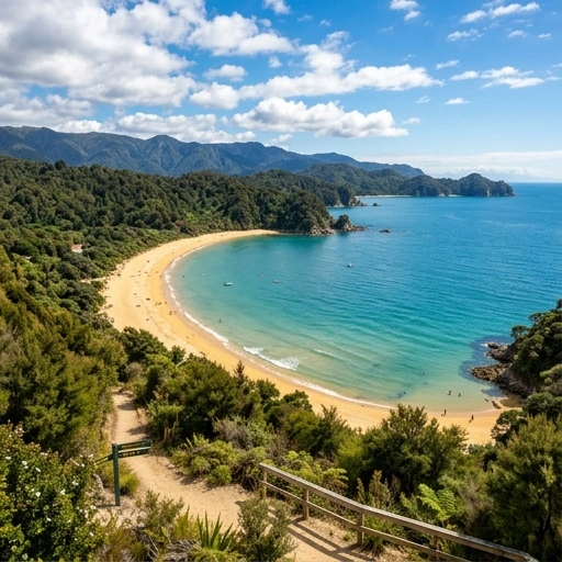
Nelson Marlborough: Explore New Zealand’s Scenic South Island Region
6 min read
Discover Nelson Marlborough's stunning landscapes, wineries, and beaches. Book your rental car with us today to explore New…
Hamilton → Blenheim
648.48 km ~10.7 hrs ~$165 fuel (est.)
Hamilton to Blenheim Road Trip Your adventure begins in Hamilton and leads you through picturesque countryside and charming small towns. The drive starts with a short 11 km leg to Ngāhinapōuri, where you can enjoy the serene landscapes. Heading onwards, you’ll traverse 38 km to Te Kawa, taking in the lovely rural settings.
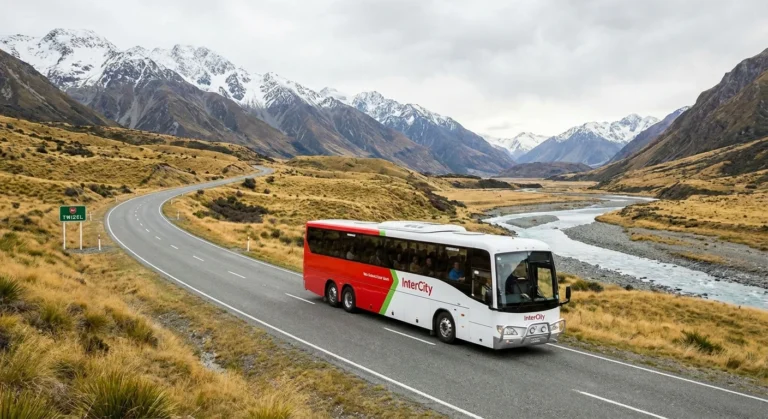
This route crosses Cook Strait by ferry. Both Interislander and Bluebridge operate daily sailings between Wellington and Picton. Sailing time is approximately 3.5 hours.
Check operator websites for current timetables and availability.
| Operator | Wellington → Picton | Picton → Wellington |
|---|---|---|
| Interislander | 2:00, 5:30, 8:45, 13:00, 16:30 | 2:30, 7:30, 11:00, 14:15, 18:30 |
| Bluebridge | Multiple daily sailings | Multiple daily sailings |
| Passenger / vehicle | From (NZD) |
|---|---|
| Foot passenger (adult) | ~$75–80 |
| Car (up to 5.5 m) | ~$170–380 |
| Campervan / motorhome | ~$355–395 |
Check-in required 60 minutes before departure for vehicles. Book in advance, especially in summer.
Approx 11.0 km, taking 11 mins.
Approx 37.8 km, taking 29 mins.
Approx 31.7 km, taking 26 mins.
Approx 11.6 km, taking 9 mins.
Approx 69.7 km, taking 49 mins.
Approx 69.0 km, taking 49 mins.
Approx 36.2 km, taking 25 mins.
Approx 109.7 km, taking 1 hour 16 mins.
Approx 124.6 km, taking 1 hour 27 mins.
Approx 22.6 km, taking 15 mins.
Approx 95.9 km, taking 3 hours 53 mins.
Approx 28.7 km, taking 25 mins.
Updated: 2026-04-22 18:38
Your adventure begins in Hamilton and leads you through picturesque countryside and charming small towns. The drive starts with a short 11 km leg to Ngāhinapōuri, where you can enjoy the serene landscapes. Heading onwards, you’ll traverse 38 km to Te Kawa, taking in the lovely rural settings. As you continue to Te Kūiti, approximately 32 km away, you’ll find it an opportune moment to refuel and explore local attractions like the Mangakara Nature Walk.
As the journey progresses, you’ll make your way through Eight Mile Junction and reach Taumarunui, which is about 70 km further along. Fuel prices tend to be 8% higher in Hamilton compared to the cheapest option, making it worthwhile to fill up in Auckland South. Continuing on, the route takes you along scenic State Highway 4 before arriving at Waiouru, where the stunning views of the mountains come into play.
The next stretch is a significant 110 km to Bulls, and then on to State Highway 1, which leads you towards the picturesque Pipitea, and finally, after a 96 km drive to Picton, you will prepare for the ferry crossing to Wellington. This ferry ride, serviced by Interislander and Bluebridge, takes approximately 3.5 hours and offers breathtaking views of the Cook Strait.

Your road trip culminates in Blenheim, completing a journey filled with scenic views and local delights. Don’t forget to check out the famous Te Toto Gorge Lookout along the way, and consider the Waitomo TOP 10 Holiday Park if you plan on making stops. With fuel being approximately 1% more in Rotorua from your route, planning your fuel stops is essential.
| Vehicle Type | Litres Needed | Cost (Approx $) |
|---|---|---|
| Economic hybrid | 25.9 L | ~$62 |
| Cheap car | 51.9 L | ~$123 |
| Van | 64.8 L | ~$154 |
| Ute | 77.8 L | ~$185 |
Fuel prices in New Zealand can fluctuate significantly between regions. As of today, the most competitive price we've tracked is $3.17/L at Wellington. We generally find that filling up in larger hubs like Hamilton before heading into more rural stretches can save you a decent amount on your total trip cost.
While the direct driving time is approximately ~11 hrs, we always recommend allowing an extra 30 to 45 minutes. New Zealand roads can be winding, and you may encounter slow-moving vehicles or roadworks. It's much better to arrive relaxed at Blenheim than to rush through the beautiful scenery.
The trip covers about 648 km. The route primarily follows State Highway 1, which is a well-maintained stretch of road. You can expect a mix of open highway and some more technical, winding sections as you get closer to Blenheim, so keep an eye on your speed and enjoy the views.
Depending on the exact path you take, you might encounter tolls (such as the Northern Gateway, Tauranga Eastern Link, or Takitimu Drive). These are clearly signposted. Most rental cars have their plates automatically read; just ensure you check your rental agreement regarding how these tolls are processed to avoid admin fees.
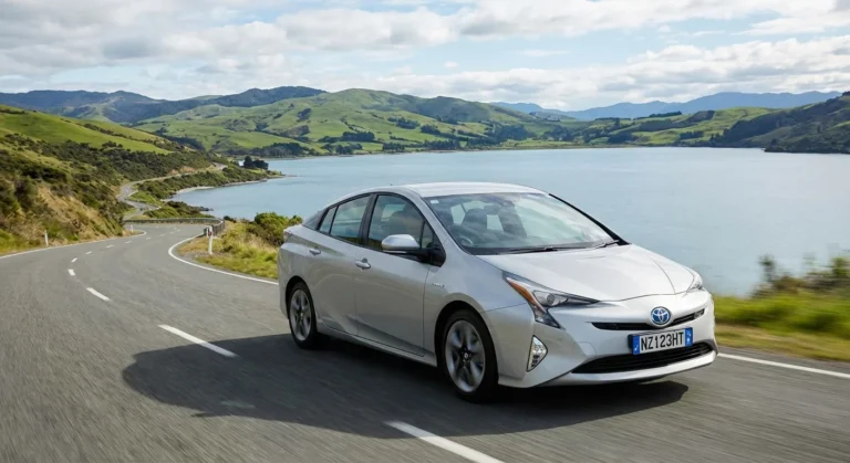
Based on the current average price of $3.17/L, a standard economy rental car will likely use about $165 worth of fuel for this journey. If you're driving a larger SUV or van, we suggest adding about 20-30% to that estimate to be safe.
Absolutely! Passing through Taumarunui is a great opportunity to take a break. There are several local cafes and public rest areas where you can grab a flat white and stretch your legs. Breaking up the drive every 90 minutes is the best way to stay alert on New Zealand roads.
Yes, the infrastructure for electric vehicles is quite good here. You'll find rapid DC chargers in both Hamilton and Blenheim, as well as at least one charging station in Taumarunui. We recommend using the 'PlugShare' app to check real-time availability before you depart.
To have the smoothest run, we suggest avoiding the weekday morning rush (7:00 AM – 9:00 AM) and the afternoon peak (4:00 PM – 6:00 PM) specifically around Hamilton. Leaving mid-morning or early afternoon usually results in a much more peaceful drive with fewer delays.
Main centres like Hamilton have several 24-hour options. Once you are on the open road toward Blenheim, many stations switch to 'unattended' mode, meaning you can still get fuel using a credit or debit card with a PIN at the pump terminal.
Most of this route stays at lower altitudes, so snow is very rare. However, during winter months (June–August), black ice can occasionally form in shaded areas around mountain passes in the early morning. If you're driving in winter, just take it easy until the sun is fully up.
If you're travelling with a furry friend, Belmont Regional Park in Otorohanga is a fantastic spot. It has plenty of space for dogs to run. Just remember to keep them on a lead in any national park areas or near farmland where livestock might be present.
Keep your camera ready as you pass through Blenheim. There are several safe 'lookout' pull-over bays where you can get a great shot of the rolling hills and scenic countryside. It's one of the most iconic views on the drive to Blenheim.
Yes, the road is fully sealed (bitumen) all the way from Hamilton to Blenheim. Whether you've hired a small compact car, a hybrid like our Nissan Notes, or a larger family SUV, you'll find the road conditions perfectly suitable.
For more than just a quick snack, Otorohanga has the best selection of local pubs and restaurants. It's roughly halfway, making it the perfect spot for a lunch break before finishing the second half of your trip to Blenheim.
You'll have a strong signal through most of the trip, especially near towns. However, New Zealand's terrain means there are occasional 'dead zones' in deep valleys or remote stretches. We recommend downloading your offline maps before you leave Hamilton just in case.
New Zealand is great for this! Most small towns have very clean public facilities. The ones in Otorohanga (usually near the local library or i-SITE) are particularly well-maintained and easy to access from the main road.
Safety is a priority on our roads. There are often fixed speed cameras near Otorohanga, and mobile police units are common on the open road. Always stick to the 100km/h limit (or lower as signposted) to ensure a safe trip and avoid fines.
Our live data shows that Hamilton is currently cheaper than Blenheim. If your tank is less than half full, we'd recommend topping up at Wellington now to take advantage of the better rate before you hit the more expensive regions.
Yes, this route is designed with safety in mind. There are dedicated passing lanes every few kilometres. If you find a queue of cars behind you, please use the 'slow vehicle bays' to let others pass safely—it makes the drive better for everyone!
The most common thing to watch for is wandering livestock or birds like Pukekos near the roadside in rural Blenheim. Also, keep an eye on the weather; heavy rain can cause localized surface flooding on some of the lower-lying sections of the road.